Real-time High-speed Lossless Compression Solution Optimized for Radar & LiDAR
Conventional methods:
- Lower compression ratio and difficult to reduce data volume.
- Run slow and take too long time to complete.
- Processing speed highly depends on the type of input data.
- Not suitable for embedded applications due to larger software size.
- Freewares may involve ambiguous licenses and difficulty in maintenance.
- Can be easily decompressed leading to concerns about security.
- Difficult to implement into hardware.
CVC for LiDAR:
- Offers higher compression ratio and more significant reduction in data volume than conventional methods.
- Achieves overwhelmingly faster compression.
- Features stable processing speed and virtually real-time processing.
- Offers lightweight software implementation and can be run in an embedded microcomputer.
- Proprietary data format means higher security.
- Includes a free license for a dedicated library for decompression.
- Can be implemented into hardware as well as supplied as FPGA IP.
- License for large-scale production and extended maintenance are available.
CVC for LiDAR: Usage
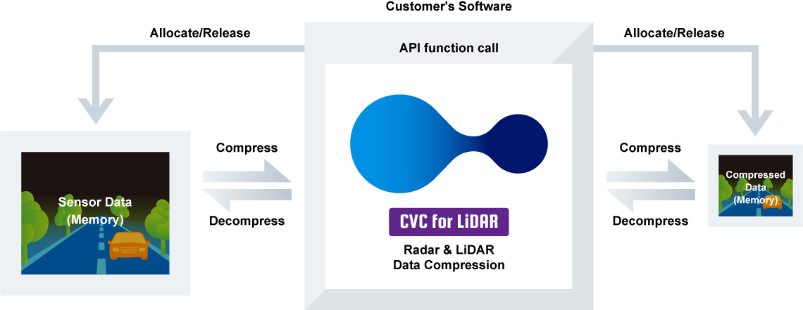
- To use CVC for LiDAR, it is necessary to control compression/decompression (make API calls) from a customer's software.
- Data passing method for CVC for LiDAR is essentially memory to memory.
- Allocation and management of the memories for original images and compressed images should be handled by a customer's software.
Supported environment:
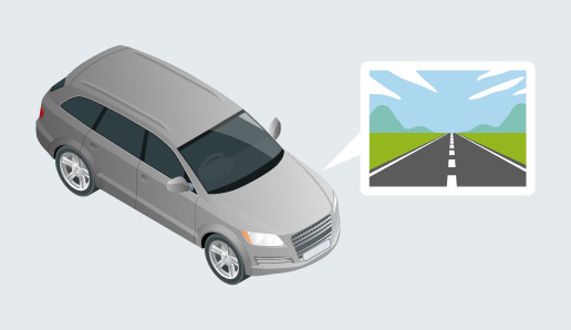
- Sensor devices: A wide variety of LiDARs and radars
- OS: Windows, Linux, non-OS system and more
- FPGA: Various types of XILINX and Intel devices
- Data Format: 8-64bit integer type data (distance, reflectance, signal strength, status, etc.)
- CPU: Intel family, ARM family, Renesas family and more
CVC for LiDAR: Applications

Augmented Reality (AR)
Visual contents production such as games and films
Visual contents production such as games and films

Agriculture
Farm management including optimizing fertilizer distribution.
Farm management including optimizing fertilizer distribution.

Urban Design & Construction
Urban Space Modeling by using LiDAR measurements.
Urban Space Modeling by using LiDAR measurements.
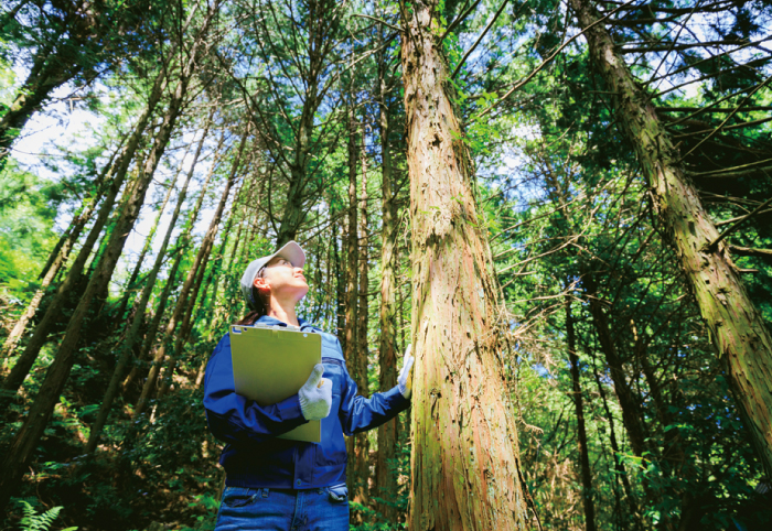
Forestry
Topography & vegetation data management in smart forestry
Topography & vegetation data management in smart forestry
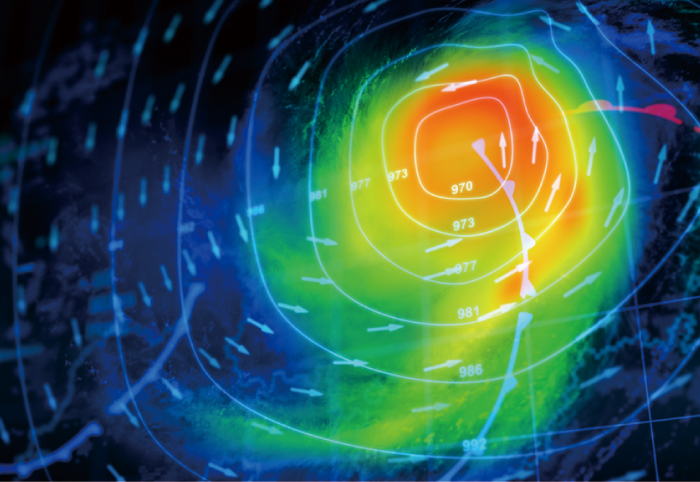
Climate Measurement
Various meteorological information collection by atmospheric LiDARs.
Various meteorological information collection by atmospheric LiDARs.

Security & Safety Surveillance
Intrusion detection and monitoring
Intrusion detection and monitoring